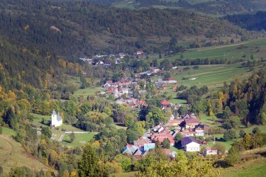
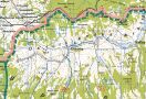
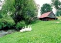
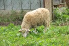
This 7 km long village is situated in the valley of Osturniansky potok (Osturniansky Creek). It founded by the end of the 16-th century through the process of colonization on the estates of the Niedzica castle. Original Ruthenian settlers were mostly shepherds who paid levy to the local lords. Later, number of farmers and woodcutters increased. Nowadays most of people work in tourist services in the High Tatras and the local companies.
In the village there is a stony Greek-Catholic church with wooden ceiling from the year 1796, built in accordance with tradition on a hill behind the creek.
Houses were built in a line very close next to each other. Gaps between houses were successively covered by roofs, somewhere even across the street. Most of the houses are rustic, with squared yards. Windows, beams as well as joints between them are painted. Some people still wear original goral folk-costumes.