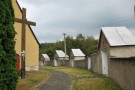
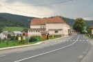
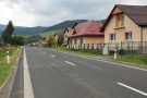
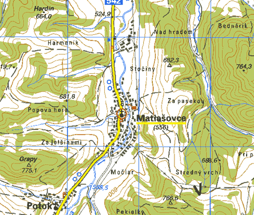
The village is situated on terraces of the Rieka creek, in the Staroveská kotlina (Staroveská Basin). It arose as a result of sc. Šoltýs colonisation, which started on the invitation of the Kokoš Berzeviczy at the beginning of the 14-th century. At that time it was a vassal village of the Niedzica castle. This fact was mentioned in a letter from the year 1326. The settlement Potok (Creek) - in past it was called Matiašovský Creek - was built by 9 families from Zakopané in 1888. Population consisted mostly of farmers, shepherds, woodcutters, weavers, producers of wooden instruments and shingles. Nowadays they also work in private companies in surroundings.
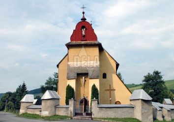
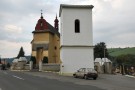
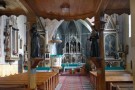
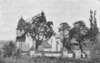
In the village there is a gothic Roman-Catholic church from the end of the 13-th century, surrounded by a wall with ciborium and a monstrance from the year 1750. It was built on the order of J. Szilassy from Levoča. You can also notice a late-baroque chapel from the 18-th century with a gothic statue of Holy Mary (from the 14-th century), rustic houses that together with cattle rustic-stalls create a harmonic unit.