Majere
   Text    Map    Google Map


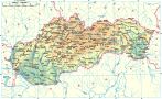
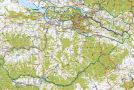
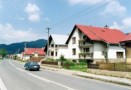
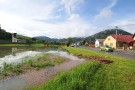
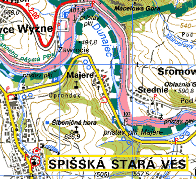
    This village is situated in the Dunajec river valley. Till the 18-th century it was a property of the Červený Kláštor (Red Monastery) - sc. Starý Majer (Old County).
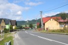
    It was colonised by German emigrants after the Cartesian religion was abolished by a decree of Joseph II. in 1786 - 1787.

MAPS:
               

PHOTO ALBUMS:


Spiš | Gemer | Liptov | Horehronie | Slovak Paradise | High Tatras | Low Tatras | Belianske Tatras
Pieniny | Spiš Castle | St. James’s Church | castle of Stará Ľubovňa | Krásna Hôrka | AquaCity | Bešeňová | Tatralandia | Vrbov | Vyšné Ružbachy