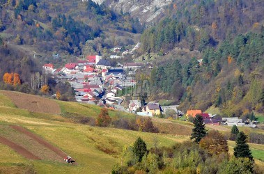
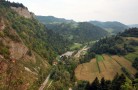
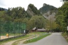
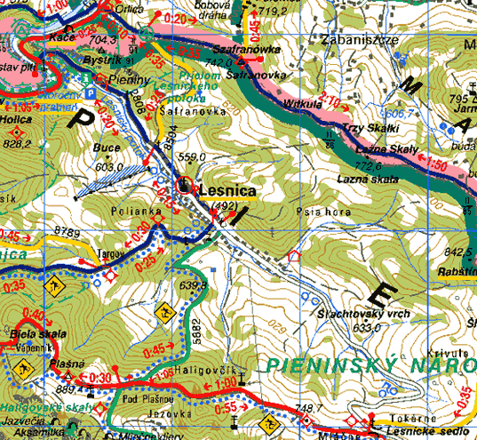
This village is situated in the valley of the Lesnica creek. The first written reference about the village is from the year 1297. It arose as a result of Šoltýs colonisation that started on the invitation of the Gorgey family from Toporec on the land that is currently called Stará Lesnica (Old Lesnica). Nová Lesnica (New Lesnica) arose very quickly next to the Old Lesnica in the 15-th century. In the 16-th century it was sold to the monks from the Red Monastery.
In the 19-th century it was a favourite place for the visitors of the spa in Smerdžonka (Red Monastery) and Szczawnica. In 1938 - 1939 the village was occupied by Poland.
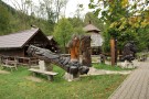
In past as well as today, most of the population were farmers and shepherds, in winter woodcutters, wood-carvers and weavers.
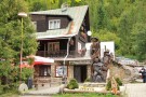
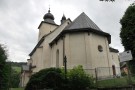
In the village there is a Roman-Catholic church from the 17-th century (built on gothic foundations), family hoses with side-entrance gates (built very close next to each other) and original small wooden hoses built from thick beams. A lot of folk legends speak about Pieniny Mountains some people still wear original “goral” folk-costume.