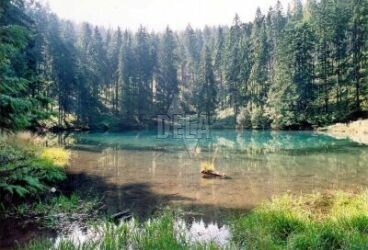
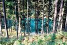
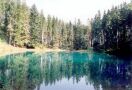
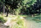
It is a very small lake (altitude 919 m, 500 m2) situated below steep slopes of the Spišská Magura, a National Natural Monument.
It is surrounded by a complex of spruce forests, in the southeast from the village Jezersko. It arose as a result of a landslide in the post-tertiary period. The direction of the landslide can be guessed from a sink 100 m above the lake, as well as from a dike bellow.
The lake is filled by water from the local slopes, but mainly from underground springs. This is the reason why the water level changes periodically in the amplitude of about 2 m. The only drain of the lake is the Jezerský potok (Jezerský Creek).
Geo-morphologically it is a very interesting area, with lots of rare kinds of swamps.