Dunajec (rafting facilities)
   Text    Map    Google Map


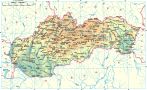
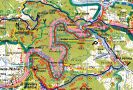
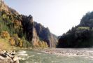
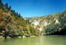
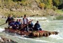
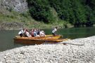
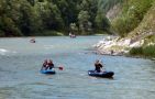
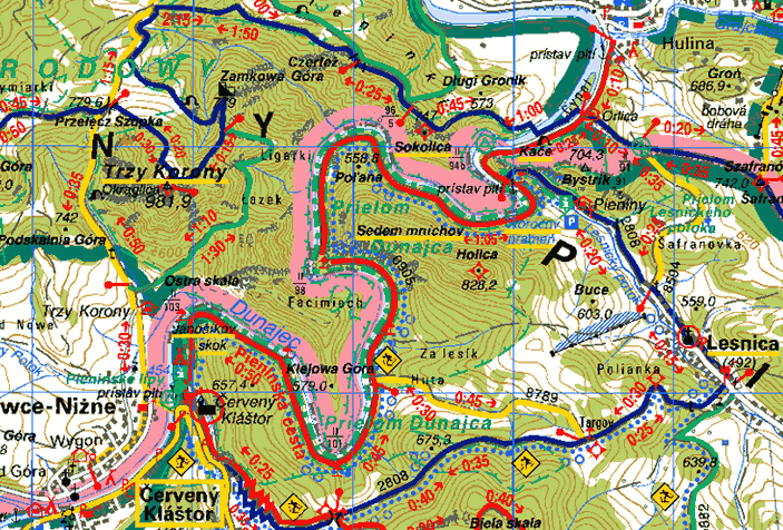
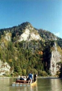
    Dunajec is the only river that takes waters from the Slovak territory to the Baltic Sea. Its inflows such as: Biely (White) and Čierny (Black) Dunajec, Biela voda (White Water) as well as Javorinka are all fed from the Pieniny Mountains. At the town Nowy Targ the river turns to the east and picks up some other creeks such as Osturniansky (Kacvínsky) Creek, Rieka creek and Lipník.
    Flowing further away Dunajec created a romantic ravine in the limestone reefs, known as Prielom Dunajca (Dunajec Canyon). Lesnický creek is also one of the Dunajec tributaries. Then Dunajec turns to the northwest, flows through the Gorcov area to the Nowosacká dolina (Nowosacká Valley), where it meets with the river Poprad, which is the biggest tributary of the Dunajec River. 40 km further away Dunajec finally joins the river Visla.
    3,6 km2 of the Dunajec Canyon area is a protected National Natural Reserve. It is a very interesting area especially by its flora and a picturesque landscape. 361 km2 of the Dunajec drainage is situated at the Slovak territory. 20 km long part of its flow is at the same time the Slovak-Polish border.
    You can hike through the Dunajec Canyon following the tourist trail with 10 informative (explanatory) tables. You can also take the opportunity to raft down the Dunajec River, which is a favourite local tourist attraction.

WEBCAMERAS:
    
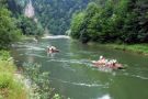
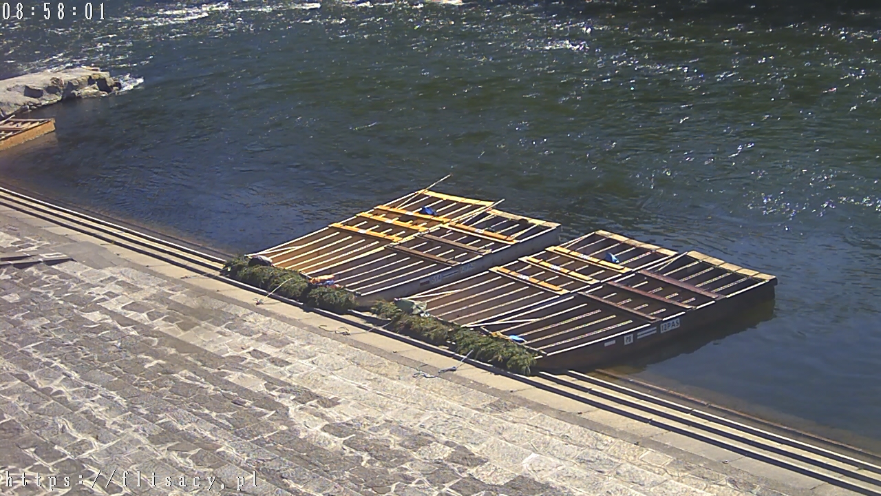
Prístavište pltí Sromowce
 
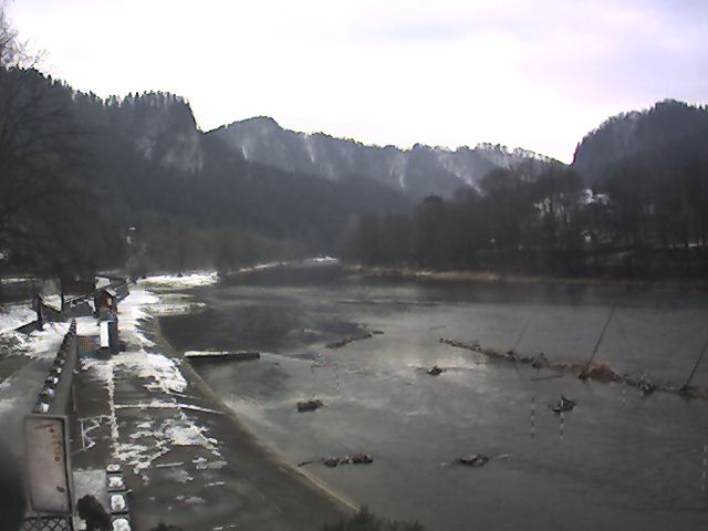
Prístavište pltí Szczawnica

MAPS:
               

PHOTO ALBUMS:


Spiš | Gemer | Liptov | Horehronie | Slovak Paradise | High Tatras | Low Tatras | Belianske Tatras
Pieniny | Spiš Castle | St. James’s Church | castle of Stará Ľubovňa | Krásna Hôrka | AquaCity | Bešeňová | Tatralandia | Vrbov | Vyšné Ružbachy